Saturday, March 28, 2015

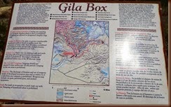
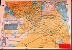
Gila Box Riparian National Conservation Area

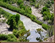
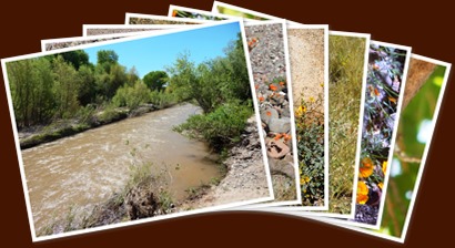
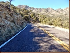
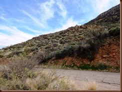
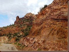
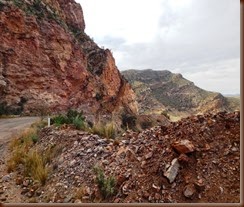
Another one of our day trips out was to the Gila Box Canyon and the Gila River.  The Black Hill Back Country Byway  that we took last month is just to the east.  There are a lot of different routes that you can take through the area with all being as interesting as the other.  We had been told about Bonita Creek so we took that route.

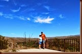
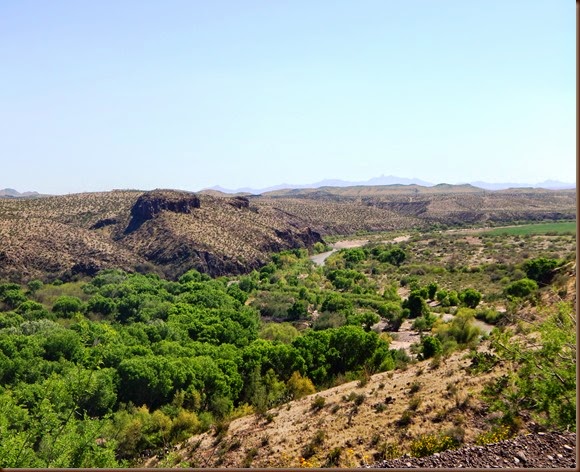
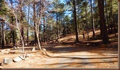
We stopped in town and picked up things for a picnic, so we stopped at the entrance to have our lunch.  The area was an overlook of river before you entered into the canyon.

Our  next stop up the canyon was at another picnic area where the wildflowers were beautiful and a vermillion flycatcher was flying around. 

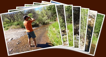
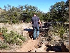
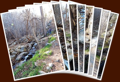
We finally made it to Bonita Creek – a small creek that flows into the Gila River.  What a neat place; the only thing was there was no place to just sit and watch the birds and/or wildlife.  We spent some time just looking around and listening to the quietness.  The creek has a rocky bottom and was really shallow so we took our shoes off and walked for a way.  After about ten minutes our feet were freezing though as the water was cool, so it was time to get those shoes back on and get out of the creek.  This is a place I would love to come back to with chairs, blanket, and a picnic so we could spend more time.  Lovely place . . . . .

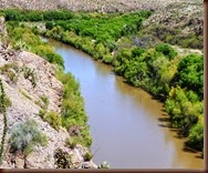
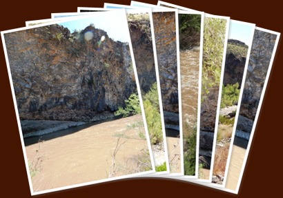
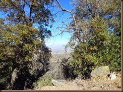
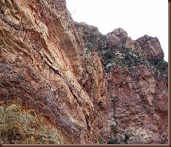
On our way back down we stopped at an overview of the canyon and the river.  We notice some people rafting down the river so I took a video.  As we went on down we stopped at one of the camping areas to see what they were like and the people we saw rafting were there getting out.  Talking to them I found out that he was attorney in Colorado and was there with his family on vacation.  Talking to them now has us wanting to go rafting down the Gila River as it really sounds like it is fun and a great place for some fun rafting with little white water but nothing to big.  The canyon and river were so neat there and the wear of the water against the rock over the years was amazing.

This is really a beautiful place and one I am glad we did not miss seeing
Thursday, March 26, 2015

Drive up Mt. Graham

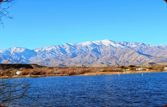
Overlooking Roper Lake at Mt. Graham

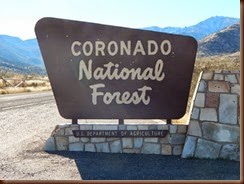
Across from Hwy 191 from Roper Lake sits the PinaleƱo Mountains and Mt. Graham.  Mt. Graham is the highest peak in the mountains  sitting at 10,750 fee and is also a part of the CoronadoDSCN9151 National Forest.  It is really relaxing site to look out the front of our coach and see this site.  There is a 32 miles road up the mountain and a number of picnic areas and campgrounds.  The campgrounds are really for tent camping as the road up has numerous switchbacks; anything over 24 feel long would have a hard trip up. 

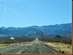
At the base of the mountain is a store so you can get water and/or snack as you make the drive up and then back down if you would Base of the mountain and the road uplike as there is nothing up the mountain.  The road up was once a wagon road that led up Mt Graham but has been improved and is now call Swift Trail .

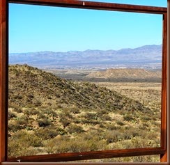
 First pull off is a sign that has the center taken out and it make a neat frame for the Gila Valley below. 

About seven miles up you come to the Noon Creek Picnic Area which is 5200 feet up.  This area got its name because when people years ago use to travel up the mountain with horse and wagon, they would reach this point about noon if they left early in the morning.  This is where they would stop and have their mid-day meal.

Looking back down over the road was really neat.  The road now is having numerous switch backs and is becoming winding.  At times it can get really scary but yet very interesting.  We are also starting to have a weather change and the temperature is dropping.

About 10 miles up is the Wet Canyon Picnic Area at an elevation of 6000 fee.  There is a stream here that flows year round and the water was cold.  We had the dogs with us as we made this drive and they wanted to play in the water real bad so we had to let them get their feet wet.

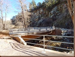
The bridge over the creek was unique as it was curved and was built in 1936 by the CCC. 

6

Eleven miles up is the first of three campground that is located on the mountain.  This is the Arcadia Campground and is at an elevation of 6700 feet.  They say trailers up to 22 feet can reach this point.  There is an upper area of the campground that is a group are for large groups and reservation have to made for this area.  During horse and wagon days it would take a full day to reach this point.

Views down the mountain from here are breath-taking.

This is as high as we got as it started to get cold and we had not brought jackets with us.  Hopefully as it get warmer we can make another trip up and see the rest of the area.  There is a summer home resident area, more campgrounds, number of ponds, area with Ft. Grant had their hospital located during summer months and a lake to see yet.  Also there is an area called Ladybug Saddle because during the summer there is a large number of ladybugs.  At about 23 miles up is an area that is called Treasure Park.  This is an area where legend has it a pack of 19 loads of stolen gold and silver was buried by Mexican bandits.  Just hope our time does not run out before we leave – so much to see and just a little time to see it all.

Thursday, March 19, 2015

Weekend Trip to Dallas

My sweet little granddaughter, Ms. Kylie Rose, cheerleading team was competing in National Cheerleading Competition so I took for to Dallas for the weekend.  Her team has been competing all season and have been finishing either first of second in all contest so we were looking forward to nationals.  I flew out late on Thursday so I could be there for their first showing on Friday morning.

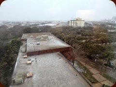
Boy did we get a surprise Friday morning – it turned real cool and started snowing.  As we left to go get so breakfast it was just starting to snow really hard.

By the time we finished breakfast it was everywhere  . . .

The snow was an added fun to the trip, but we could have done without the cold – lol.  Kylie really enjoyed it as it was her first time to really see snow.  We all had a fun time playing in it.

But to the serious business – off to the convention center for the competition.  What a mad house – teams from all over the country where there from all ages.  I must say they were well organized in running the show though as everything flowed really well from what I could tell.  The girls were all very excited and were ready to show off their talents.  Waiting was the hardest thing though but they found ways to keep themselves entertained.


From hair bow making


Stretching out


To being silly girls and showing off!!
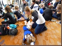


But then the time came . . .  

https://youtu.be/hplOMTeprxg

It was a great weekend and they finished in 4th place.  We were so proud of them.  Kylie is always looking for sponsors with her training and her team.  If your interested let me know and I will send you the information on the gym.  Thanks!!

Boyce Thompson Arboretum State Park Superior, AZ

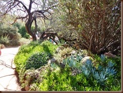
What a place!!!  There is over three miles of paths and trails over 100 acres of gardens and features plants from the desert ecosystems all across the planet.  There is a Hummingbird & Butterfly Garden, Heritage Rose Garden, Display Greenhouses, Children’s Horticulture Garden, Taylor Desert Legum Garden, large Interpretive Center, Chihuahuan Exhibit, Cactus & Succulent Garden and much much more. 

The park is just a hour drive from Phoenix and is really worth the visit in the historical town of Superior on Hwy 60.  Take the time to drive there or stop as you travel, it is worth the time.

Entrance walkway


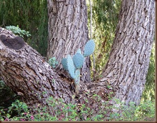
Cacti growing out of the center of the tree


Colonel Thompson House – Founder of the Arboretum

View album
Boyce Thompson Arboretum State Park

Saturday, March 14, 2015

Coolidge Dam

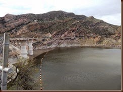
Coolidge Dam is on the Gila River and was built between 1927 and 1928.  It primary purposes for irrigation of over 100,000 acres on the San Carlos Indian Reservation.

The Apache Indians opposed the construction of the dam at first as they felt it violated their treaty rights.  The body of water the dam would create would be over the old burial grounds and the old camp which Geronimo lived before he left the reservation and began his raids.  The Indians felt that removal of the bodies from the grounds would desecrate the dead, so after talks it was decided that a concrete slab would be laid over the principal grounds to protect the grounds.  Therefore deep below the reservoir lays the old burial grounds and the old camp of Geronimo.

The drive to the dam is really a neat drive over a primitive road that is fairly maintained.  The dam seems to sit in the middle of no where and when you get to it, well it was like wow!

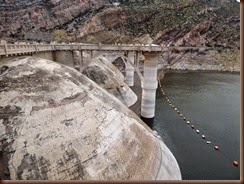
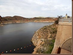
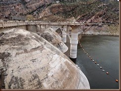
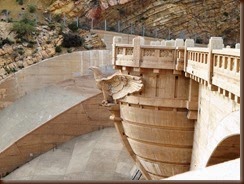
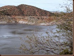
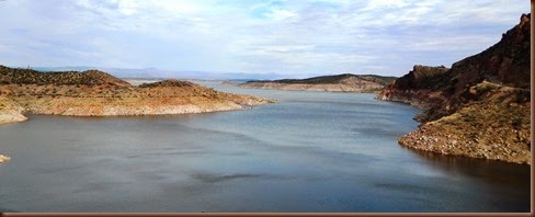
The dam is one of the few that is a dome type of construction.  The San Carlos Reservoir lays to one one side of the dam and the other is the Gila River.  The drive to see the dam is not a long drive but is a nice one and one worth taking.  The reservoir makes for great camping, picnicking, fishing and boating.  All is on the San Carlos Indian Reservation therefore it requires those who are not members of the San Carlos Apache tribe who wish to use the lake must contact the tribal office for a permit.

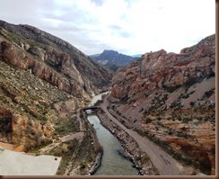
Gila River from the top of the dam


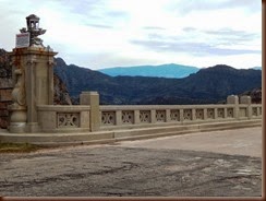
Dam  - notice the dome construction.  The Eagles overlook the Gila River and are really unique.

The San Carlos Reservoir